
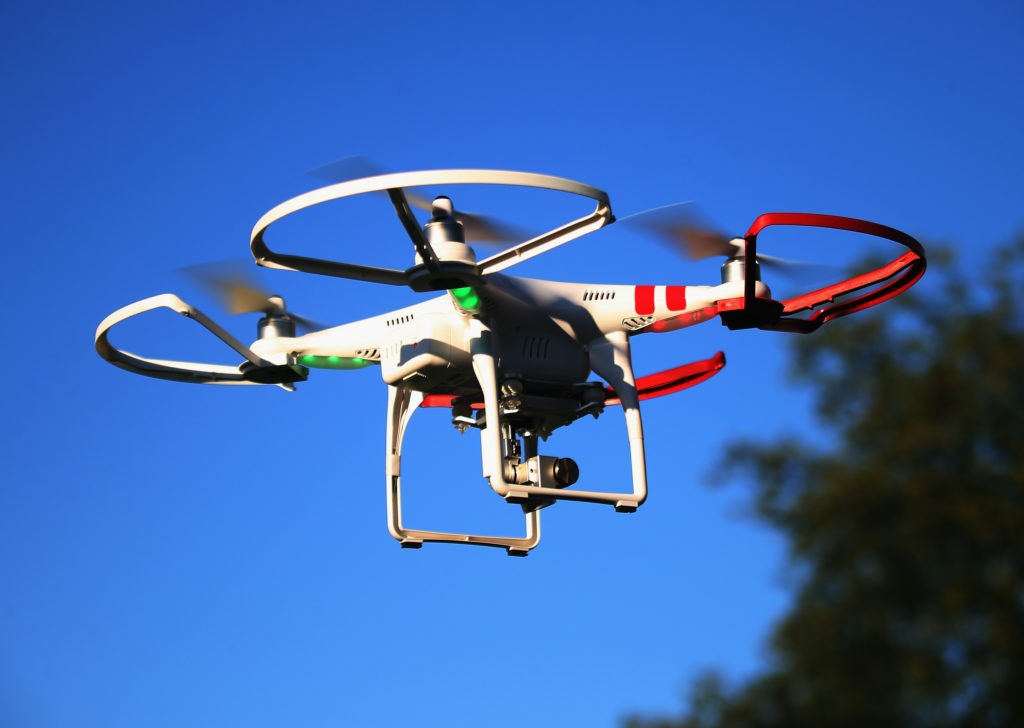
The UAE’s Ministry of Climate Change and Environment is developing a new project to survey and map agricultural areas using unmanned aerial vehicles (UAV) in the country.
MoCCAE said it has called different firms in the UAE to carry out the pilot phase of the project using UAVs, better known as drones.
The pilot phase will include surveying and mapping Wadi Al Khib area – about 500 sqm – in the emirate of Fujairah, state news agency WAM reported.
Dr. Thani bin Ahmed Al Zeyoudi, Minister of Climate Change and Environment, said: “Using a drone-enabled aerial mapping system is the ideal solution to generate high-resolution, highly efficient aerial data, including topographic mapping, contouring, vector mapping and textured 3D city models.
“This data will be systematically analyzed to produce accurate statistical information that is updated constantly.
“We hope through this project to create a highly accurate agricultural database that supports decision making and forward planning – particularly important if we are to achieve outstanding outcomes in precision agriculture,” he added.
Some of the types of data to be collected through the project include the number of temperature-controlled greenhouses, the area of windbreaks, infertile land area, area of farm buildings and facilities, number of wells in a farm, soil type, and salinity, and livestock population.
In addition, data on the number of beehives on a farm, farm area and geographical boundaries, farm classification, area of temporary and permanent crops, number of palm trees and other fruit trees, as well as area of protected agriculture will also be collated.