
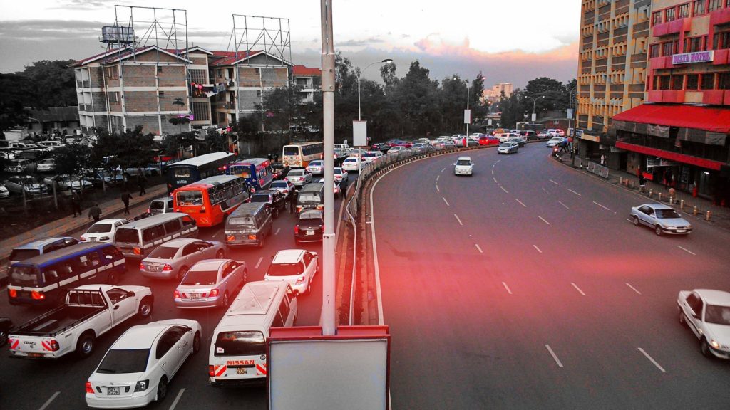
Uber the world’s’ biggest ride-hailing service has launched a new feature – ‘Speeds’, in Nairobi and four other cities in the US and UK. ‘Speeds’ is part of the Uber Movement project that will provide historical accumulated speed data on street segments for urban areas. This new feature will aid city planners to address traffic and other transportation challenges.
Uber’s released statement: “Today, we’re excited to launch Speeds—a free data set within Uber Movement that’s available to the public—across 5 cities: New York, Seattle, Cincinnati, Nairobi, and London. Although each of these cities is unique, they all face complex urban transportation challenges, including congestion, road safety, infrastructure planning, and pollution. We’re excited to provide data and tools that can empower planners to understand how people move and help them address pressing urban transportation challenges.”
See also: Mixed feelings as Uber releases Quiet Mode Feature for Drivers
Uber mentioned the availability of Uber Movement in 2017, and that the tool was built to easily plan cites. They also said that they were willing to partner and even share demos with interested organizations to achieve this.
How it works;
According to Uber, the user should zoom in to a street-level view of average speeds over the default time range. As the user moves the mouse around and hovers over street segments, they will see information about those segments including street name, average speed, and the percentage from free-flow speed. Free-flow speed is estimated as the 85th percentile of all speed values observed on a segment over the earliest quarter into which your selected date-time range falls.
More on TechGist Africa:
- Microsoft Set to Launch $100 Million African Development Center
- Applications are Ongoing for 2019 FbStart Accelerator Program Season 2
- Nigeria’s Publiseer makes the Halcyon Incubator Fellowship Final List
- Vodacom South Africa to Secure 51% Stake in IoT.nxt
- Zimbabwe Fintech, Payitup Secures $13m Series A Fund